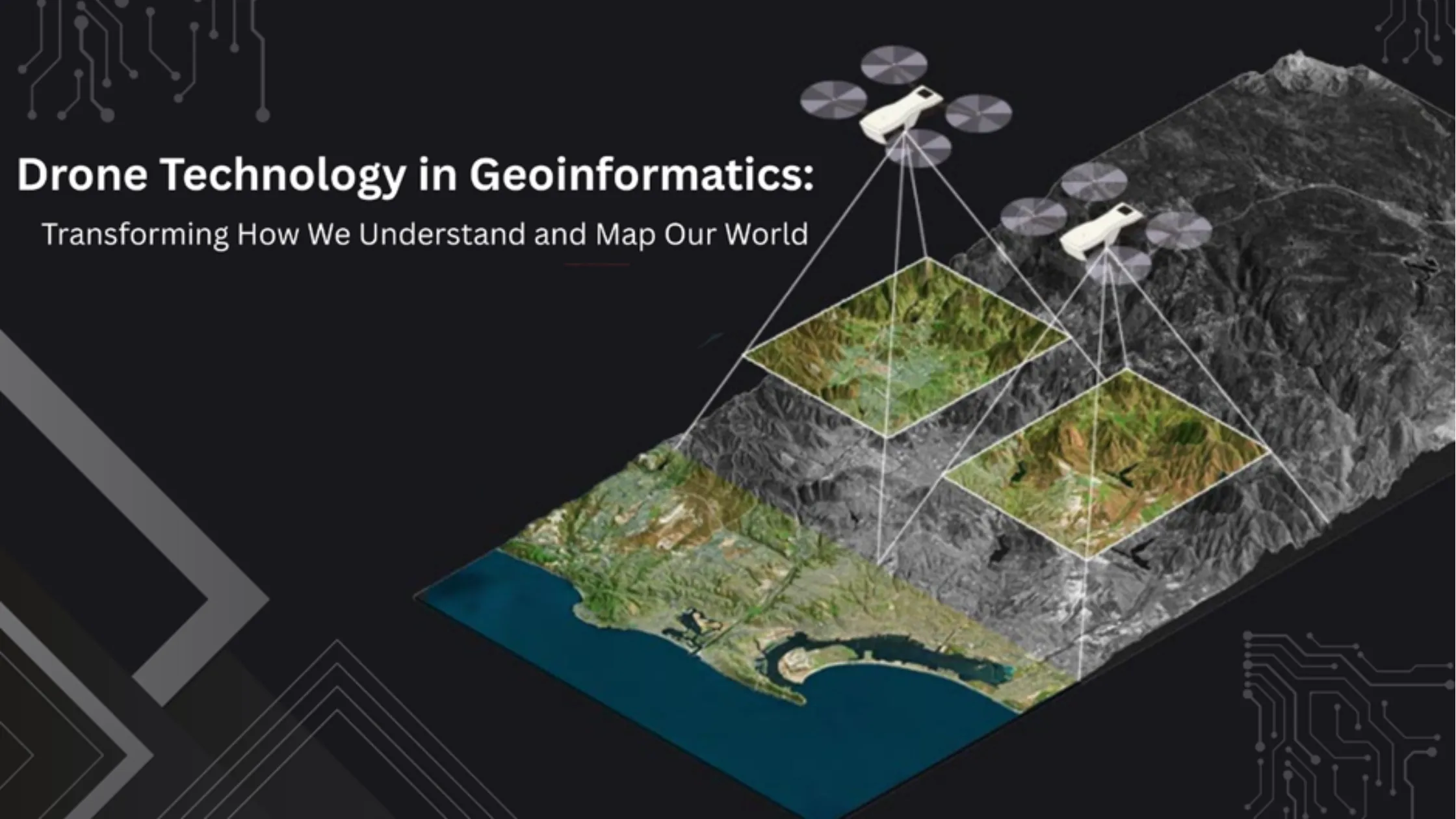
Drone technology in geoinformatics means using unmanned aerial vehicles (UAVs) equipped with sensors, GPS and high-resolution cameras to capture geospatial data — enabling high-resolution mapping, real-time monitoring, disaster assessment and precision agriculture. Once high-tech gadgets, drones have become essential tools of modern geospatial science.
This guide explores the dynamic intersection of drones and geoinformatics — their evolution, core applications, key benefits, limitations, and the skills you need to build a career in this fast-growing field.
Drones, or UAVs, are remotely piloted aircraft systems equipped with sensors, GPS units and high-resolution cameras. They are designed to fly without a human pilot onboard, making them ideal for collecting data from places that are dangerous, difficult or expensive to access using traditional means.
In geoinformatics, drones are used to collect geospatial data quickly and accurately. They serve as platforms for remote sensing, photogrammetry, LiDAR, thermal imaging and more. For a quick visual overview, watch this brief video introduction to drone technology in geoinformatics.
While drones began primarily for military surveillance in the early 20th century, their civilian and scientific applications gained traction in the 21st century. With the miniaturization of sensors and advances in GPS and GIS, drones became increasingly integrated into geoinformatics workflows. By the 2010s, growing demand for high-resolution, near-real-time geospatial data accelerated drone adoption across industries — urban planning, agriculture, disaster management and environmental monitoring. In India, initiatives like the SVAMITVA scheme, which uses drones to map village properties, and the liberalized Drone Rules 2021 have made India one of the fastest-growing drone markets in the world.
Drones in geoinformatics are typically equipped with:
These sensors collect spatial data, which is then processed using GIS (Geographic Information System) software to create maps, models and analytics for informed decision-making.
1. High-resolution mapping and surveying. Traditional ground surveys are time-consuming and expensive. Drones cover large areas in minutes, producing orthophotos, Digital Surface Models (DSM) and 3D maps with centimetre-level accuracy. Example: drones are used to create cadastral maps for land ownership verification in rural India.
2. Disaster management and emergency response. After floods, earthquakes or landslides, drones provide real-time aerial imagery that helps responders assess damage, plan rescue operations and monitor risk-prone zones. Case study: during the 2015 Nepal earthquake, UAVs were deployed to map collapsed structures and guide rescue teams.
3. Urban planning and infrastructure monitoring. Urban planners use drones to monitor infrastructure projects, check construction quality and track environmental impact — especially in rapidly growing cities.
4. Agriculture and precision farming. With multispectral sensors, drones assess crop health, detect pests, monitor irrigation levels and help optimize fertilizer use — boosting yields and reducing costs.
5. Environmental monitoring and conservation. Drones monitor deforestation, wetland health, glacier retreat and wildlife movement. They are especially useful in inaccessible or ecologically sensitive regions.
| Benefits | Limitations |
|---|---|
| Ultra-high-resolution data, more detailed than satellite imagery | Regulatory restrictions — strict UAV laws on altitude, airspace and privacy (DGCA rules in India) |
| Significantly cheaper and faster than manned aircraft or satellites for small-to-medium surveys | Battery limits — most commercial drones fly 20–40 minutes |
| Near-instant data collection — critical for disaster response | Weather sensitivity — high winds, rain or fog ground operations |
| Reach cliffs, flood zones, dense forests and other unsafe areas | Data overload — high-resolution data needs powerful processing and large storage |
| Versatile payloads — RGB, thermal, multispectral or LiDAR |
To succeed in drone-based geoinformatics, build expertise in flight planning software (DJI GS Pro, Pix4Dcapture), drone operation and maintenance, photogrammetry tools (Agisoft Metashape, Pix4Dmapper), GIS and remote sensing software (ArcGIS, QGIS, ENVI), data processing and 3D modelling, and drone law and ethics. Educational institutions like NIGMT Foundation (Netra Institute of Geoinformatics) offer short-term and diploma programs focusing on drone applications in geospatial technology.
Autonomous drones. AI-powered drones that make decisions in real time are being tested for dynamic mapping and surveillance.
Swarm technology. Multiple drones working together will map large areas faster and more efficiently.
Integration with IoT and cloud GIS. Drone data can be uploaded and analysed in real time on cloud GIS platforms, enabling instant decision-making.
Regulatory evolution. More streamlined policies and certification processes — like India's Digital Sky platform — are being developed to support professional drone use in geospatial sciences.
Drones are remotely piloted aircraft that capture high-resolution geospatial data using RGB, multispectral, thermal and LiDAR sensors. They outperform traditional surveys in speed, cost and detail, with applications in mapping, disaster response, urban planning, precision agriculture and conservation. Key challenges are regulations, battery life, weather and data volume. Combined with GIS, AI and cloud platforms, drones are becoming central to geoinformatics — and India's drone sector is among the fastest growing in the world.
Drone technology is redefining the capabilities of geoinformatics. By providing fast, flexible and highly accurate geospatial data, UAVs are proving to be game-changers in everything from disaster response to urban development. For students and professionals in the field of GIS and remote sensing, understanding and mastering drone technology is no longer optional — it's essential.
Want hands-on drone and GIS training? Explore NIGMT Foundation's P.G. Diploma in Drone Technology and GIS & Remote Sensing programs in New Delhi — offline, online and hybrid modes. Visit our Courses page or call +91-8585991286.