M.Sc. in Geoinformatics (1 Year – Lateral Entry) is an industry-integrated degree offered by Chaudhary Bansi Lal University (CBLU) with NIGMT Foundation, enabling PG Diploma holders to earn a full M.Sc. in just one year through direct 3rd Semester admission under NEP 2020.
The M.Sc. in Geoinformatics (1 Year – Lateral Entry) lets PG Diploma holders earn a complete, UGC-recognized M.Sc. degree from Chaudhary Bansi Lal University (CBLU), Bhiwani, in just one year — through direct 3rd Semester admission under the NEP 2020 Multiple Entry-Exit Framework, with NIGMT Foundation, New Delhi, as the official Technology & Training Partner. Admissions for the 2026–27 session are open; the fee is ₹18,000 per semester.
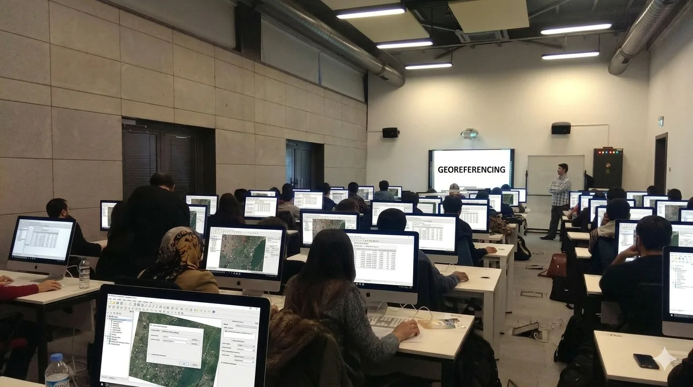
The program covers the most advanced, application-driven stage of the M.Sc. curriculum across Semesters III & IV: Geospatial Data Analytics, Spatial Databases (PostGIS/SQL), LiDAR Technology, GeoAI, Cloud GIS, UAV/Drone Mapping, Google Earth Engine, Big Data & Machine Learning, Web GIS, Geospatial Technology for SDGs, and Disaster Resilience Mapping. The final semester includes a 300-mark Dissertation / Project / Internship / Research Work.
Assessment follows a 70:30 (External:Internal) model with practicals, MOOC/SWAYAM electives, and industry-aligned paper options — the same degree as the regular 2-year M.Sc., earned in half the time.
Career Opportunities: GIS Analyst | Remote Sensing Specialist | GeoAI Developer | Spatial Data Scientist | UAV Survey Expert | GIS Manager | Urban/Environmental Planner | Research Scholar
P.G. Diploma in Geoinformatics / GIS & Remote Sensing with Bachelor's Degree in Geography, IT, or any other science related field.
Enroll Now