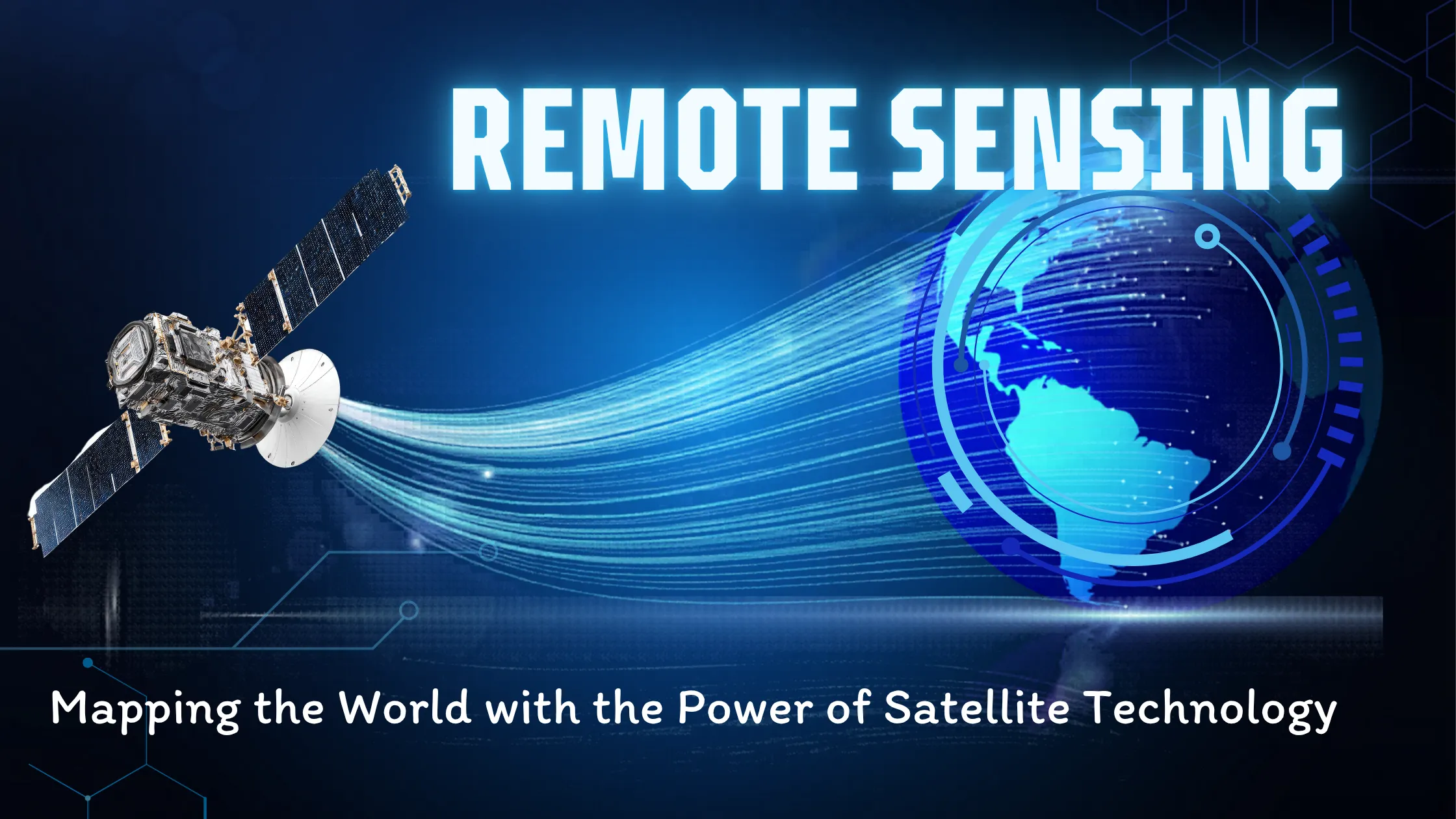
Remote sensing is the science of collecting information about the Earth's surface from a distance, using satellite or airborne sensors that detect reflected or emitted electromagnetic radiation — without any physical contact. It powers everything from crop monitoring and disaster response to climate research and urban planning, making it one of the most important technologies of our time.
As data becomes the foundation of decision-making, remote sensing lets us observe, analyse and monitor our planet from afar. Whether it is assessing deforestation in tropical forests, mapping urban growth in megacities, or forecasting crop yields in rural India, remote sensing is quietly transforming how we interact with our environment.
Remote sensing is the process of gathering information about objects or areas from a distance, typically using sensors mounted on satellites, aircraft or drones. Instead of physically touching the subject, these sensors detect electromagnetic radiation reflected or emitted from the Earth's surface and atmosphere. The signals are then captured, processed and converted into meaningful data — images, maps and measurements — used across multiple disciplines.
It is called "remote" because the sensor and the subject are never in direct contact. This makes it possible to monitor massive, often inaccessible areas quickly, efficiently and repeatedly — from the Amazon rainforest to the Himalayan glaciers. For a quick visual explanation, watch this brief video introduction to remote sensing.
Remote sensing has evolved rapidly over the last century. In the 1840s, the earliest examples were balloon-based aerial photographs. During the World Wars, aerial photography became a key tool for military reconnaissance. The modern era began in the 1960s with the TIROS-1 weather satellite (1960) and NASA's Landsat-1 (1972), which marked the beginning of continuous space-based Earth observation. From the 1990s to today, advanced satellites like Sentinel, MODIS and WorldView deliver high-resolution, near-real-time data, while drones (UAVs) and LiDAR have expanded ground-level observation.
India has been a major force in this evolution. ISRO operates one of the world's largest Earth observation constellations — the Cartosat, RISAT and EOS series — and provides free access to Indian satellite data through the Bhuvan geoportal.
A remote sensing system consists of three main components:
1. Sensors — devices that detect and record energy. They can be passive (detecting natural radiation such as sunlight) or active (emitting their own signals, like radar or LiDAR).
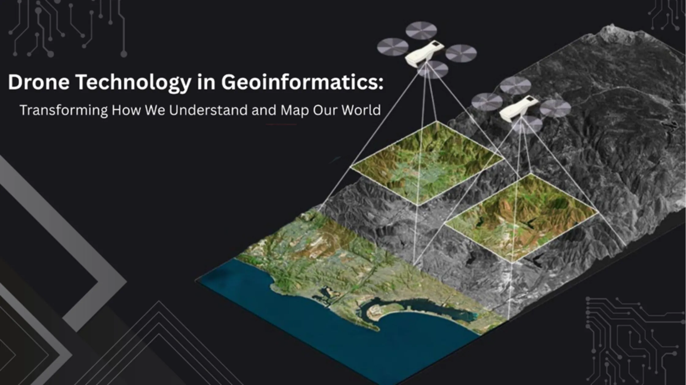
2. Platforms — the carriers of sensors, ranging from satellites (Landsat, Sentinel, Cartosat) to aircraft, drones and even handheld devices. Read our detailed guide on drone technology in geoinformatics to learn how UAVs are expanding ground-level observation.
3. Data processing systems — raw data must be calibrated, corrected and interpreted. Specialized software converts raw spectral data into actionable maps, models and reports.
These tools capture data across different spectral bands — visible, infrared and microwave — allowing remote sensing to "see" what the human eye cannot: soil moisture, chlorophyll content, land surface temperature and terrain elevation.
Passive remote sensing depends on natural energy sources, usually sunlight. Common sensors include optical, multispectral and hyperspectral instruments — Landsat and Sentinel-2 imagery are classic examples.
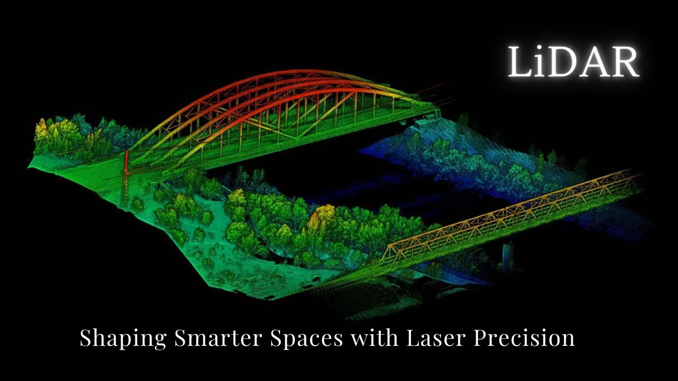
Active remote sensing emits its own energy and measures the reflection. It operates day and night and can penetrate clouds. Synthetic Aperture Radar (SAR) and LiDAR are the best-known examples.
| Feature | Passive Remote Sensing | Active Remote Sensing |
|---|---|---|
| Energy source | Natural (sunlight) | Emits its own signal |
| Works at night | No | Yes |
| Penetrates clouds | No | Yes (radar) |
| Example sensors | Optical, multispectral, hyperspectral | SAR, LiDAR |
| Example missions | Landsat, Sentinel-2, Cartosat | Sentinel-1, RISAT |
| Best suited for | Land cover and vegetation mapping | Terrain mapping, 3D modelling, all-weather monitoring |
1. Agriculture and crop monitoring. Detect crop health, stress and disease; guide precision farming through soil moisture and nitrogen monitoring; forecast yields. India's FASAL programme uses satellite data to forecast major crop production.
2. Urban planning and infrastructure. Analyse land-use and land-cover (LULC) changes, monitor urban sprawl and zoning compliance, and plan smart cities with minimal environmental disruption.
3. Disaster management. Map areas affected by floods, landslides, wildfires and earthquakes; assist rescue and early-warning systems; monitor damage in near real time, even in dangerous zones.
4. Climate change and environmental monitoring. Track glacier retreat, sea-level rise and carbon emissions; monitor deforestation and biodiversity loss; build long-term climate datasets.
5. Water resource management. Assess water body extent, reservoir levels and river flow; monitor sedimentation, algae blooms and pollution; support watershed planning.
6. Geology and mineral exploration. Detect surface minerals and structural geology, analyse fault zones, and support oil, gas and mining exploration.
Geographic Information Systems (GIS) turn remote sensing data into spatial analysis and professional maps. AI and machine learning automate image classification and improve forecasting. IoT and big data combine satellite observations with ground sensors for real-time monitoring. Cloud platforms such as Google Earth Engine process massive datasets efficiently, putting planetary-scale analysis within anyone's reach.
Key trends include hyperspectral imaging capturing hundreds of narrow spectral bands; miniaturized CubeSats making frequent Earth observation affordable; real-time monitoring powered by AI and IoT; and commercialization, with companies like Planet Labs and Maxar democratizing access to high-quality satellite data. In India, the opening of the space sector to private players is creating strong career demand for remote sensing professionals.
Remote sensing is not just for scientists and space agencies anymore. It enables faster decision-making, data-driven policy, scalable monitoring and cost-efficient environmental management for governments, NGOs, researchers, urban developers, disaster managers and farmers alike. At a time of climate uncertainty, food insecurity and rapid urbanization, remote sensing equips us to build a sustainable and resilient future.
Remote sensing collects Earth data from satellites, aircraft and drones without physical contact. Passive systems rely on sunlight, while active systems like SAR and LiDAR emit their own energy and work day and night in any weather. Its applications span agriculture, urban planning, disaster management, climate, water and geology. Combined with GIS, AI and cloud platforms like Google Earth Engine, it is a cornerstone of modern decision-making — and CubeSats and hyperspectral imaging are making it cheaper and faster every year.
From satellites orbiting thousands of kilometres above the Earth to drones flying over local farms, remote sensing is a silent force reshaping our world. It helps us see the unseen, monitor the unknown, and predict the unpredictable. As the technology evolves, it will only become more integrated into our daily lives and industries — making it a must-have skill for anyone working in data, development or sustainability.
Want to build a career in remote sensing? Explore NIGMT Foundation's certification and diploma programs in GIS and Remote Sensing in New Delhi — offline, online and hybrid modes available. Visit our Courses page or call +91-8585991286 to get started.