NIGMT's Corporate Training Program delivers customized, hands-on geospatial technology training — GIS, Remote Sensing, LiDAR, Photogrammetry & Surveying — built around your organization's specific needs. offline, online, or hybrid, with flexible scheduling and corporate certification.
Unlike standard courses, our Corporate Training Program is built around your organization’s specific needs. We consult with your technical leads, assess your team’s current skill levels, and design a curriculum that directly addresses your operational gaps — delivered at your premises, online, or in a blended format.
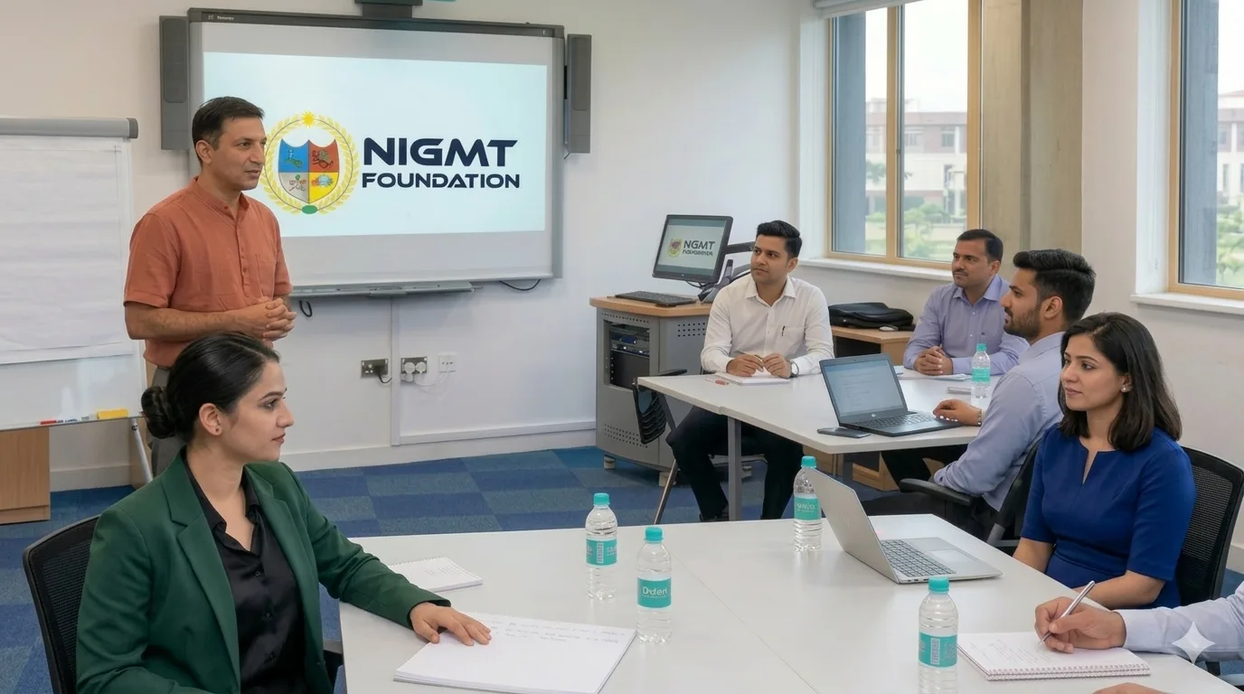
All corporate programs are designed and delivered by NIGMT’s industry-experienced, certified geospatial trainers — professionals with hands-on experience in government mapping projects, infrastructure surveys, agricultural applications, and defence geospatial work.
Program Highlights:
- Customized Curriculum Based on Organizational Needs
- Advanced Training in GIS, Remote Sensing, LiDAR, Photogrammetry & Surveying
- Hands-on Practical Sessions with Real-Time Data
- On-site / Online / Hybrid Training Modes
- Industry-Experienced Certified Trainers
- Flexible Scheduling for Working Professionals
- Corporate Certification & Skill Assessment
- Fees and duration will be finalized after discussion or based on the candidate’s specific requirements.
Technologies We Train In
Domain
What Your Team Learns
GIS ArcGIS & QGIS workflows, spatial analysis, map production, geodatabases Remote Sensing Satellite image processing, classification, change detection LiDAR Point cloud processing, classification, terrain modelling Photogrammetry & Drones Drone data processing, orthomosaics, DEMs, 3D models Surveying Modern survey workflows, GNSS/DGPS, field-to-finish data
How It Works — From Inquiry to Certification
Consultation — we discuss your objectives with your technical leads (free) Skill assessment — we evaluate your team's current levels Custom curriculum — designed around your operational gaps and project data Delivery — on-site at your premises, online, or hybrid, on your schedule
Certification — corporate certificates and skill assessment reports for every participant
Working professionals, engineers, planners, surveyors, researchers, and technical teams who want to upgrade their skills, improve productivity, and stay competitive in the evolving geospatial industry.