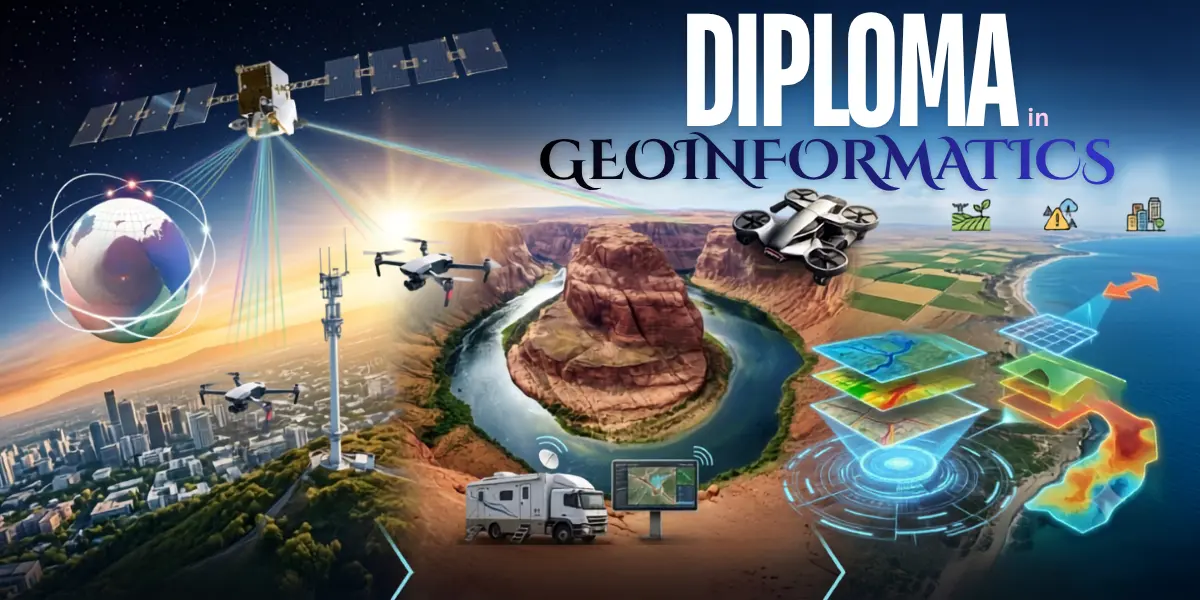
1 Year Post Graduate Diploma in Geoinformatics (PGDG)", "description": "1-year (2-semester) university PG Diploma awarded by NIILM University, Kaithal, with NIGMT Foundation as Technology Partner. Hands-on training in GIS, Remote Sensing, LiDAR, Digital Photogrammetry, Drone Technology, GPS/GNSS Surveying, Google Earth Engine and Python for Geospatial Applications, with 100% placement support. Offline and LMS (online) modes.
The global geospatial industry is transforming how governments, businesses, and organizations make decisions. From smart cities and infrastructure planning to environmental monitoring, disaster management, agriculture, defense, logistics, and utility management, geospatial technologies are becoming essential across every sector. The Post Graduate Diploma in Geoinformatics (PGDG) is a comprehensive one-year professional program designed to prepare students for high-growth careers in this rapidly expanding industry.
Offered by NIILM University with NIGMT Foundation as the Technology Partner, this industry-focused postgraduate diploma combines academic excellence with practical skill development, enabling students to become job-ready geospatial professionals through hands-on training, live projects, industry exposure, and dedicated placement support.
The Post Graduate Diploma in Geoinformatics provides in-depth training in eight of the most in-demand geospatial technologies used worldwide. Students develop expertise in Geographic Information Systems (GIS), Remote Sensing, LiDAR, Digital Photogrammetry, Drone Technology, GPS & GNSS Surveying, Google Earth Engine (GEE), and Python Programming for Geospatial Applications. The curriculum is designed to build both technical knowledge and practical competency, ensuring graduates can confidently work on real-world geospatial projects across multiple industries.
Geoinformatics plays a critical role in smart city development, urban planning, transportation management, precision agriculture, forestry, environmental monitoring, water resource management, disaster risk reduction, renewable energy planning, mining, geology, telecommunications, land administration, defense, and infrastructure development. Organizations across public and private sectors increasingly depend on geospatial intelligence to improve planning, efficiency, sustainability, and decision-making.
Graduates of the Post Graduate Diploma in Geoinformatics can pursue rewarding careers as GIS Analysts, GIS Engineers, Remote Sensing Analysts, Geospatial Data Analysts, LiDAR Specialists, Photogrammetry Experts, Drone Mapping Specialists, GIS Developers, Python GIS Programmers, Survey Engineers, Spatial Data Scientists, GIS Consultants, Geomatics Professionals, and Geospatial Project Coordinators. With the rapid adoption of location-based technologies worldwide, skilled geospatial professionals continue to remain in high demand across industries.
NIGMT Foundation provides dedicated career development and placement assistance throughout the program. Students receive support in resume building, LinkedIn profile optimization, technical interview preparation, mock interviews, industry networking, internship opportunities, job referrals, and placement drives. The objective is to ensure every learner is prepared to enter the geospatial workforce with confidence through comprehensive 100% Placement Support.
The program is open to graduates from Science, Engineering, Geography, Geology, Environmental Science, Agriculture, Computer Science, Mathematics, Architecture, Planning, and related disciplines. Candidates from other academic backgrounds with a strong interest in geospatial technologies are also encouraged to apply.
Apply Now