Fast-track your career in GIS & Remote Sensing with our industry-focused program — master 4 advanced technologies in just 6 months, work on live projects, and get 100% placement support.
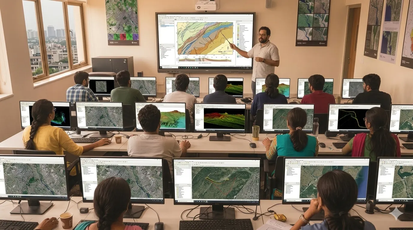
The Six Months Professional Diploma in Geoinformatics is a fast-track, industry-focused program covering 4 advanced geospatial technologies — with 4 months of comprehensive classroom training followed by 2 months of live project experience. Designed for post-graduates and working professionals who want to enter the geospatial industry quickly with job-ready, practical skills and 100% placement support.
Why Choose This Program?
The Six Months Diploma is specifically designed for those who want to enter the geospatial industry without spending a full year. The curriculum is compressed and industry-aligned — covering the most in-demand technologies, with the final 2 months entirely dedicated to working on real-world, live geospatial projects under expert mentorship.
Program Structure
| Phase | Duration | Focus |
|---|---|---|
| Phase 1 — Core Training | 4 Months | Theory + Practical Labs in 4 Geospatial Technologies |
| Phase 2 — Live Project | 2 Months | Real Industry Projects, Portfolio Building, Placement Prep |
| Total Duration | 6 Months | Job-Ready Professional Diploma |
During the final 2 months, students work on actual client or research projects such as:
- Land Use / Land Cover Mapping
- Crop Health Monitoring using Satellite Data
- Urban Expansion Analysis
- Topographic Survey & DEM Generation using Drone Data
| Mode | Fee | Schedule |
|---|---|---|
| Campus – Offline | ₹71,000* | Monday to Friday |
| Online – Live | ₹51,000* | Flexible / Recordings Available |
| Hybrid | ₹65,000* | Combined Campus + Online |
Hiring Sectors: Urban Planning, Agriculture, Infrastructure, Defence, Environment, Smart Cities, Mining
Post Graduates, and working professionals who want to quickly build strong technical skills and start a successful career in GIS, Remote Sensing, and Geospatial Technologies.