Course Overview
Program Overview
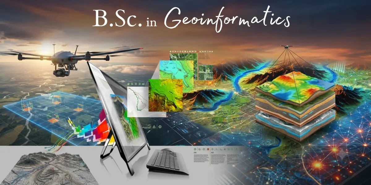
Geoinformatics is the science of capturing, storing, analyzing, and presenting spatial data using technologies such as Geographic Information Systems (GIS), Remote Sensing, GPS, and spatial data analytics. As industries from urban planning to disaster management increasingly rely on location intelligence, trained geoinformatics professionals are in growing demand across government and private sectors.
The B.Sc. in Geoinformatics is a three-year, full-time undergraduate degree offered by NIILM University, designed in collaboration with technology partner NIGMT Foundation. The program blends strong theoretical foundations in geography, earth sciences, and computer applications with hands-on training in industry-standard GIS and remote sensing tools, preparing students for careers in mapping, environmental analysis, urban planning, and spatial data science.
With 100% placement support, the program is built to take students from classroom learning to career readiness through structured industry exposure, practical labs, and dedicated placement assistance.
Why Choose This Program
- Strong academic foundation from NIILM University combined with applied, technology-driven training from NIGMT Foundation
- Hands-on exposure to GIS, Remote Sensing, GPS/GNSS, and spatial data tools used across the industry
- Curriculum aligned with real-world applications in urban planning, agriculture, disaster management, and natural resource management
- Faculty with academic and industry experience in geospatial technologies
Program Duration
- Duration: 3 Years (6 Semesters), Full-Time
- Mode: On-campus, full-time learning with lab and field components
Curriculum Structure
Foundations of Geospatial Science
- Fundamentals of Geospatial Technology, Geography, and Geographic Information Systems (GIS)
- Aerial Photograph and Image Interpretation
- Principles of Cartography and GNSS
- Fundamentals of Remote Sensing
- Fundamentals of Mapping and Surveying / Global Positioning System (GPS)
Tools, Programming & Data Management
- Programming Fundamentals in Python and R
- Geo-Statistics and Statistical Applications in GIS
- Spatial Database Management and Query Systems (PostGIS/SQL)
- WebGIS and Open Source Mapping Frameworks
- Google Earth Engine: Fundamentals and Applications
Advanced & Emerging Technologies
- LiDAR Technology and 3D Geospatial Mapping
- Modern Surveying Instruments (UAV, DGPS, Total Station)
- Cloud GIS and Server-Side Spatial Architecture
- Big Data and Machine Learning in Geospatial Contexts
- GeoAI: Artificial Intelligence in Geospatial Analysis
- Geospatial App Development and Automation
Real-World Applications
- Application of Geoinformatics in Disaster Management & Natural Resource Management
- Geoinformatics in Urban Studies and Water Resource Management
- Remote Sensing for Natural Resources Management
- Geospatial Analysis of Social Vulnerability and Equity
- Geoinformatics in Biodiversity and Ecosystem Services
- Disaster Resilience Planning and Emergency Mapping
- Geospatial Technology for Sustainable Development Goals (SDG)
Career & Industry Readiness
- Entrepreneurship and Innovation in Geospatial Technologies
- Law and Policy for Maps and Remote Sensing Data
- Industrial Internship (4–6 weeks, mandatory)
- Final Year Dissertation / Project Report / Research Work / Apprenticeship
Career Opportunities
Graduates of this program can pursue roles such as:
- GIS Analyst / GIS Executive
- Remote Sensing Technician
- Cartographer / Map Data Specialist
- Spatial Data Analyst
- Urban Planning Assistant
- Survey and Field Data Officer
- Environmental and Natural Resource Mapping Associate
Placement Support
NIILM University, in partnership with NIGMT Foundation, offers 100% placement support to all students enrolled in this program, including:
- Industry-readiness training and skill workshops
- Resume building and interview preparation
- On-campus placement drives with partner organizations
- Internship opportunities during the program
- Continued career guidance until placement is secured
Requirements
Candidates must have passed Class 12 (or equivalent) from a recognized board with Science, Geography, or related subjects
Minimum aggregate percentage as per university admission norms
Final admission subject to NIILM University's eligibility and admission guidelines