The M.Sc. in Geoinformatics is a 2-year postgraduate program offered by NIILM University with NIGMT Foundation as Technology Partner, covering 8 advanced geospatial technologies with hands-on training and 100% Placement Support.
The M.Sc. in Geoinformatics is designed for graduates who wish to build specialized expertise in spatial technologies and location intelligence. The curriculum integrates theory, practical training, project-based learning, and industry applications to prepare students for leadership roles in the rapidly expanding geospatial sector.
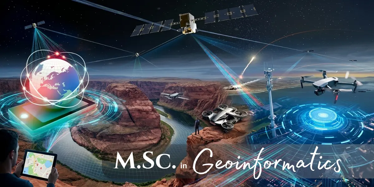
Students gain proficiency in eight core technologies that form the foundation of modern geospatial science and industry applications: GIS, Remote Sensing, LiDAR, Digital Photogrammetry, Drone Technology, GPS & GNSS Surveying, Google Earth Engine, and Python Programming for Geospatial Analytics.
By combining advanced geospatial methodologies with modern computing and data analytics, the program prepares students to solve real-world challenges using location-based intelligence.
Geoinformatics has become a critical technology across numerous sectors, including smart cities, urban planning, transportation, utilities, agriculture, forestry, water resources, environmental management, disaster risk reduction, mining, geology, renewable energy, telecommunications, defense, infrastructure development, and climate change studies.
Organizations increasingly depend on geospatial intelligence to improve operational efficiency, optimize resources, reduce risks, and make data-driven decisions. As digital transformation accelerates worldwide, demand for skilled geospatial professionals continues to grow.
Graduates of the M.Sc. in Geoinformatics are well-positioned for diverse and rewarding careers in the geospatial industry. Potential career roles include GIS Analyst, GIS Engineer, Remote Sensing Analyst, Geospatial Data Scientist, LiDAR Specialist, Photogrammetry Expert, Drone Mapping Specialist, GIS Developer, Geospatial Consultant, Survey Engineer, Spatial Data Analyst, Earth Observation Specialist, Geomatics Professional, Research Associate, and Geospatial Project Manager.
With the growing adoption of GIS, satellite technologies, drones, cloud computing, and AI-driven spatial analytics, career opportunities continue to expand across government agencies, multinational corporations, research institutions, consulting firms, and technology companies.
NIGMT Foundation provides dedicated career assistance to help students successfully transition into the geospatial workforce. Placement support includes resume development, LinkedIn profile optimization, technical interview preparation, mock interviews, portfolio development, internship opportunities, industry networking, job referrals, and placement drives.
Candidates who have completed a Bachelor's Degree in Geography, Geology, Environmental Science, Agriculture, Engineering, Computer Science, Mathematics, Physics, Planning, Architecture, Earth Sciences, or any related discipline are eligible to apply. Graduates from other streams with a strong interest in geospatial technologies may also be considered as per university guidelines.
Apply Now