The M.Sc. in Geoinformatics is a 2-year, UGC-recognized postgraduate degree awarded by Chaudhary Bansi Lal University (CBLU), Bhiwani, with NIGMT Foundation, New Delhi, as the official Technology & Training Partner.
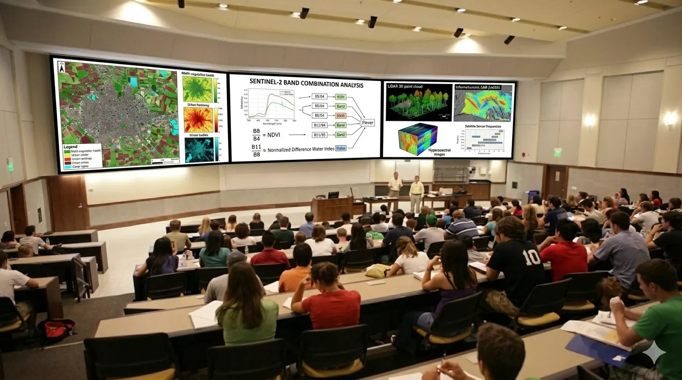
Across 4 semesters and 17+ core and elective papers, students master Geographic Information Systems (GIS), Remote Sensing & Satellite Image Processing, Digital Photogrammetry, LiDAR Technology, GNSS & Navigation Systems, Spatial Databases (PostGIS/SQL), Google Earth Engine, Python for Geospatial Automation, GeoAI, UAV/Drone Mapping, Cloud GIS, Big Data Analytics and Web GIS — the exact skills employers in India's fast-growing geospatial industry hire for.
The program blends university academics with NIGMT's industry training model: a mandatory 4–6 week Industrial Internship after Semester II, a 300-mark Dissertation/Research Project in the final semester, and elective tracks in GeoAI, Cloud GIS, Disaster Mapping, Biodiversity, Smart Governance, and Entrepreneurship. MOOC/SWAYAM integration allows flexible, self-paced learning alongside classroom teaching.
Who should apply: Graduates in Science, Geography, Geology, Engineering, Agriculture, or Forestry aiming for careers as GIS Analysts, Remote Sensing Specialists, GeoAI Developers, Spatial Data Scientists, UAV Survey Experts, or Urban/Environmental Planners — or those planning research (Ph.D./NET-JRF) in geospatial science.
Graduates in Science, Geography, Geology, Engineering, Agriculture, or Forestry aiming for careers as GIS Analysts, Remote Sensing Specialists, GeoAI Developers, Spatial Data Scientists, UAV Survey Experts, or Urban/Environmental Planners — or those planning research (Ph.D./NET-JRF) in geospatial science.
Apply Now