Master GIS & Digital Photogrammetry in just 3 months — hands-on practical labs, 1 month live project, 100% placement assistance.
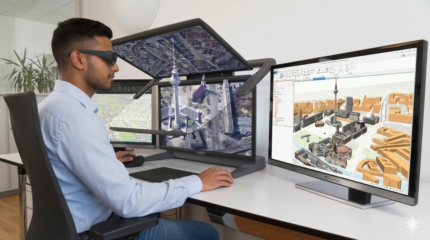
The 3 Months Professional Certification in GIS & Digital Photogrammetry is an industry-focused short program covering 2 advanced geospatial technologies — combining intensive hands-on GIS training with professional-grade Digital Photogrammetry skills, and 1 month of dedicated live project experience. Ideal for graduates, post-graduates, job seekers, research scholars, and working professionals who want fast, practical entry into the geospatial industry.
What is Digital Photogrammetry & Why Does It Matter?
Digital Photogrammetry is the science of extracting precise 3D measurements and spatial data from photographs — especially from drone/UAV imagery and aerial photos. Combined with GIS, it is one of the most powerful and in-demand skill combinations in modern geospatial work, used in construction, urban planning, disaster assessment, agriculture, and archaeology.
Why Choose the GIS + Digital Photogrammetry Track?
This combination is uniquely powerful — GIS gives you the analytical platform while Digital Photogrammetry gives you the 3D data creation skills. Together, you can produce, process, and analyse geospatial data end-to-end, making you significantly more valuable to employers across infrastructure, surveying, and planning sectors.
Phase Duration Focus Phase 1 — GIS Training ~5 Weeks Spatial Analysis, Mapping, Data Management Phase 2 — Digital Photogrammetry ~3 Weeks Microstation, Socet Set, Point Cloud, 3D Modelling, DEM Phase 3 — Live Project 1 Month Real industry project combining both technologies Total 3 Months Professional Certification
Hiring Sectors: Infrastructure, Construction, Smart Cities, Defence & Military Mapping, Archaeology, Disaster Management, Agriculture, Urban Planning
Graduates, Post Graduates, job seekers, research scholars, and working professionals who want to quickly gain practical skills in GIS, Remote Sensing, LiDAR, Digital Photogrammetry technologies and enhance their career prospects in the Geospatial industry.