Master GIS & Advanced Drone Technology in 90 days — UAV operations, drone data processing, live project training, 100% placement assistance.
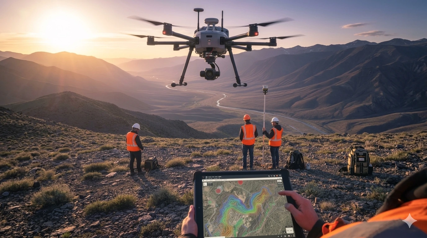
The 3 Months Professional Certification in GIS & Drone Advance Program is an industry-focused fast-track course combining Geographic Information System expertise with advanced drone technology skills — including UAV flight operations, mission planning, and drone data processing. With 1 month of dedicated live project training and 100% placement assistance, this program is ideal for graduates, post-graduates, job seekers, and working professionals aiming to build a strong career in the rapidly growing drone and geospatial industry.
What Makes GIS + Drone the Right Combination?
Drone technology is generating massive volumes of geospatial data — but raw drone data has limited value without GIS expertise to analyse, map, and interpret it. This program gives you both sides: the ability to fly and collect drone data AND the GIS skills to process, analyse, and present that data professionally. This combination is one of the most sought-after skill sets across infrastructure, agriculture, urban planning, and survey sectors right now.
| Phase | Duration | Focus |
|---|---|---|
| Phase 1 — GIS Training | 5 Weeks | Spatial Analysis, Mapping, Data Management |
| Phase 2 — Drone Advance Program | 3 Weeks | UAV Operations, DGCA Regulations, Mission Planning, Data Processing |
| Phase 3 — Live Project | 1 Month | End-to-end drone survey project processed and mapped in GIS |
| Total | 3 Months | Professional Certification |
Career Opportunities
Hiring Sectors: Infrastructure & Construction, Smart Cities, Agriculture, Defence, Urban Planning, Environmental Agencies, Mining, Disaster Management
Graduates, Post Graduates, job seekers, research scholars, and working professionals who want to quickly gain practical skills in GIS, Drone advance technologies and enhance their career prospects in the Geospatial industry.