Master drone data processing in 1 month — orthomosaics, DEMs, point clouds, 3D models, and GIS integration. 70–80% practical training, flexible mode, industry-standard software.
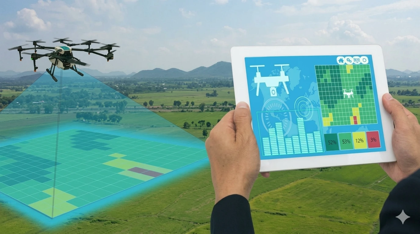
The 1 Month Certification Program in Drone Data Processing is an intensive, practical short-term course focused entirely on processing, analysing, and delivering professional outputs from drone/UAV survey data. With 70–80% hands-on training using industry-standard software, this program is ideal for students, drone operators, working professionals, research scholars, government officials, and corporate teams who need focused drone data processing skills in just 30 days — with seamless GIS integration for complete spatial analysis workflows.
What is Drone Data Processing?
Flying a drone is only the beginning. The real professional value lies in what you do with the data after the flight — converting thousands of raw aerial images into precise orthomosaics, Digital Elevation Models, 3D terrain models, point clouds, and volume reports that engineers, planners, and researchers can act on. This program gives you complete mastery over that entire post-flight data pipeline.
Why Is This a Standalone 1-Month Program?
Drone data processing is a deep, software-intensive skill that deserves dedicated training time. Many professionals can fly drones but cannot process their own data professionally — creating a gap that this program specifically fills. Whether you are a drone pilot wanting to add data processing to your services, a GIS professional expanding into drone outputs, or an engineer needing deliverable-ready survey data — this program equips you end-to-end.
Program Structure
Week Focus Week 1 Drone data fundamentals — image formats, flight parameters, GCP placement, data quality checks Week 2 Core processing workflows — photogrammetric reconstruction, orthomosaic & DEM generation Week 3 Advanced outputs — point cloud classification, 3D modelling, volume calculation, accuracy assessment Week 4 GIS Integration — importing drone outputs into GIS software, spatial analysis, final deliverable production Total 1 Month — Professional Certificate
| Mode | Fee | Schedule |
|---|---|---|
| Campus – Offline | ₹21,000* | Monday to Friday, 3 Hours Daily |
| Online – Live | ₹15,000* | Flexible / Recorded Sessions |
| Hybrid | ₹17,000* | Combined Campus + Online |
Hiring Sectors: Infrastructure, Construction, Smart Cities, Agriculture, Mining, Environmental Agencies, Real Estate, Archaeology, Government Survey Departments
Students, research scholars, working professionals, government officials, and corporate teams who want to upgrade their technical skills in a short period with focused, practical learning.