Choose your specialisation — GIS / Remote Sensing / Photogrammetry / LiDAR / Surveying — and get job-ready in 1 month. 70–80% practical training, customized curriculum, flexible mode.
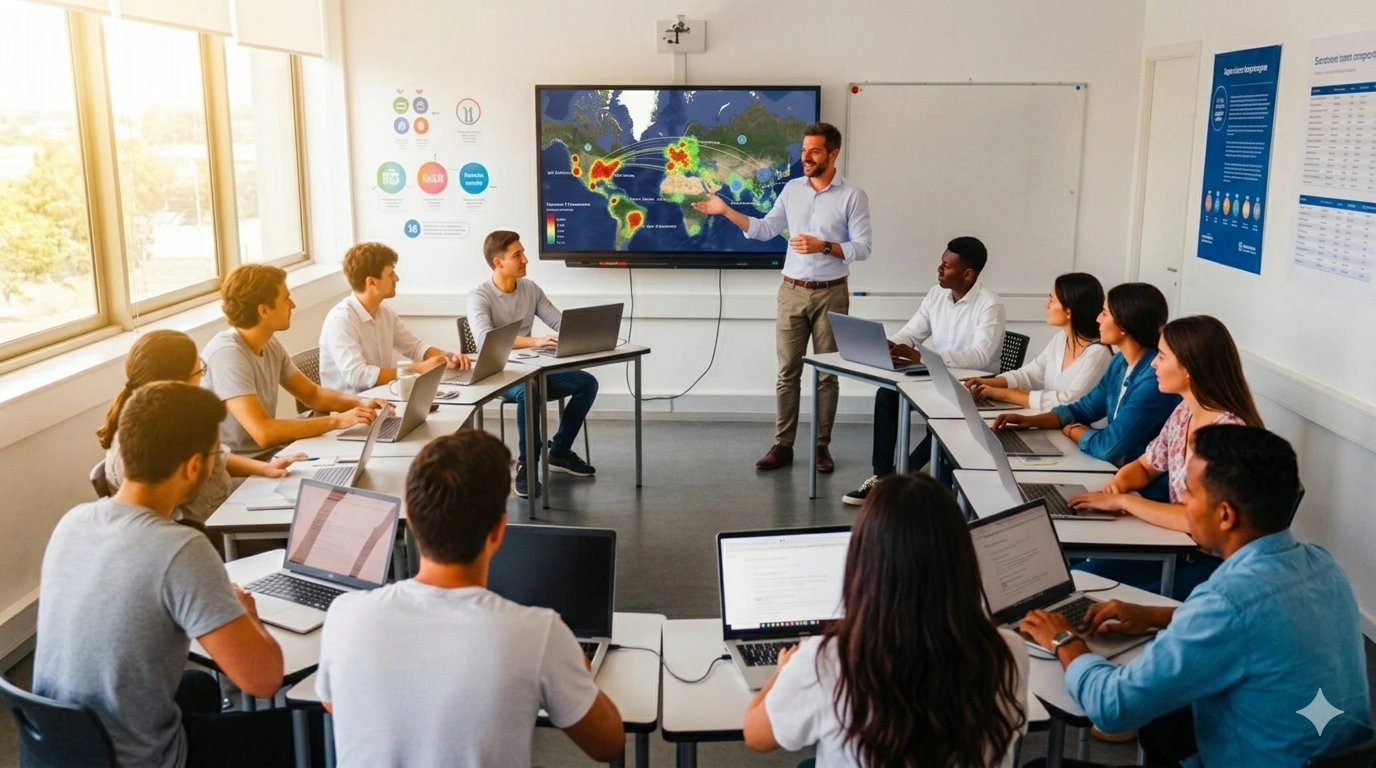
The 1 Month Professional Certificate Program is NIGMT Foundation’s most flexible and focused short-term training — allowing you to choose any ONE specialised geospatial technology: GIS, Remote Sensing, Photogrammetry, LiDAR, or Surveying. With 70–80% hands-on practical training, a fully customized industry-oriented curriculum, and flexible in-person, online, or hybrid delivery — this program is ideal for students, research scholars, working professionals, government officials, and corporate teams who need targeted geospatial skills in just 30 days.
What is the 1MP Program?
The 1 Month Professional Certificate Program (1MP) is NIGMT Foundation’s most customizable short-term offering. Unlike fixed-track programs, the 1MP is built entirely around your specific learning goal — whether you need focused GIS skills for a new job, Remote Sensing for ongoing research, Photogrammetry for a project requirement, LiDAR for terrain work, or Surveying for field operations. Each 1MP is designed fresh, ensuring every hour of training directly serves your objective.
Why Choose 1MP?
- Speed — Build a specific, industry-relevant skill in just 30 days
- Flexibility — Choose the technology, choose the mode, choose the schedule
- Customization — Curriculum tailored to your background and goals
- Practicality — 70–80% of time is hands-on lab and project work, not theory
Track 1 — GIS (Geographic Information System)
Spatial analysis, mapping, raster & vector workflows, thematic map production. Ideal for those entering GIS for the first time or refreshing core skills.
Track 2 — Remote Sensing
Satellite image processing, band composition, NDVI analysis, supervised & unsupervised classification, change detection. Ideal for agriculture, environment, and research applications.
Track 3 — Photogrammetry (PHT)
Drone image processing, orthomosaic generation, DEM/DSM creation, 3D modelling using Agisoft Metashape / Global Mapper. Ideal for survey, construction, and drone data professionals.
Track 4 — LiDAR
Point cloud processing, DEM/DSM generation, feature extraction, terrain modelling using LAStools & CloudCompare. Ideal for precision survey, infrastructure, and forestry work.
Track 5 — Surveying
GPS / Navigation field survey techniques, Total Station operations, ground control point (GCP) placement, field data collection & processing. Ideal for survey professionals and field technicians.
| Mode | Fee | Schedule |
|---|---|---|
| Campus – Offline | ₹21,000* | Monday to Friday, 1 Hours Daily |
| Online – Live | ₹15,000* | Flexible / Recordings Available |
| Hybrid | ₹17,000* | Combined Campus + Online |
Students & Graduates
Undergraduate or postgraduate students who need a specific GIS/RS skill for placement or research
Students completing dissertations who need hands-on spatial data skills quickly
Working Professionals
Engineers, planners, or surveyors needing a targeted technology upskill
Professionals transitioning into a geospatial role who need foundational practical training
Research Scholars
PhD / M.Phil scholars who need GIS, RS, LiDAR, or Photogrammetry for fieldwork or data analysis
Government Officials & Corporate Teams
Government department staff requiring focused geospatial tool training
Corporate teams needing a short, specific technology refresher without a long program commitment