🎓M.Sc in Geoinformatics (2 Years – Campus Program)
Photography Masterclass: Your Complete Guide to Photography. The Best Selling Online Professional Photography Class: How to Take & Sell Photos.

Overview
(GIS & Remote Sensing Technology)
🔹 Program Highlights:
Advanced Geospatial Technologies Covered
80–85% Practical Hands-on Training
Live Interactive Classes with Recording Facility
Research & Project-Based Learning
Career Guidance & Placement Assistance
Campus/LMS Mode of Learning
📍 Ideal For: Graduates aiming to build a strong professional and research-oriented career in GIS, Remote Sensing, and Geospatial Technologies.
Course Features
- Duration 45 hours
- Activities University Integrated Academic Program
Instructor
You May Like
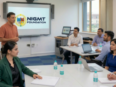
Corporate Training Program
Customized geospatial technology training for organizations and working professionals — delivered in-person at NIGMT's campus, online, or in hybrid mode. GIS, Remote Sensing, LiDAR, Photogrammetry...
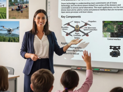
1 Week Certification in Drone DGCA Certification
In this course, We'll learn how to create websites by structuring and styling your pages with HTML and CSS.
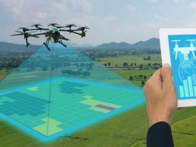
1 Month Certification Program in Drone Data Processing
In this course, We'll learn how to create websites by structuring and styling your pages with HTML and CSS.

3 Months Certification Program in (Advance GIS+ Python)
Master Advanced GIS & Python programming in 90 days — spatial automation, geospatial scripting, live project training, 100% placement assistance.
- Time: Daily Three Hours
- Days of Week: Monday to Friday
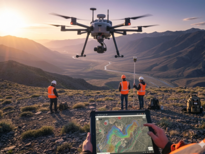
3 Months Certification Program in (GIS & Drone Advance Program)
Master GIS & Advanced Drone Technology in 90 days — UAV operations, drone data processing, live project training, 100% placement assistance.
- Time: Daily Three Hours
- Days of Week: Monday to Friday
")
Course Features
- Lecture 0
- Quiz 0
- Duration 45 hours
- Skill level All levels
- Language English
- Students 10
- Assessments Yes