🎓M.Sc in Geoinformatics (2 Years – Full Time)
Lorem Ipsum is simply dummy text of the printing and typesetting industry. Lorem Ipsum has been the industry’s standard dummy text ever since the 1500s, when an unknown printer took a galley of type and scrambled it to make a type specimen book.

Overview
(GIS & Remote Sensing Technology)
🔹 Program Highlights:
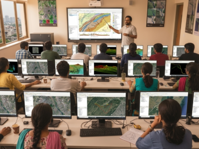
Advanced Geospatial Technologies Covered
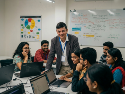
80–85% Practical Hands-on Training
Live Interactive Classes with Recording Facility
Research & Project-Based Learning
Career Guidance & Placement Assistance
Campus/LMS Mode of Learning
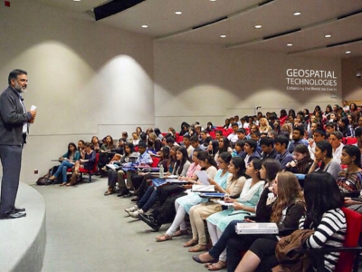
📍 Ideal For: Graduates aiming to build a strong professional and research-oriented career in GIS, Remote Sensing, and Geospatial Technologies.
Course Features
- Duration 69 hours
- Activities University Integrated Academic Program
Instructor
You May Like
🎓P.G. Diploma in RS & GIS (1 Year – LMS Program)
Build and deploy a few Nodejs, MongoDB & Expressjs apps while watching to lectures by the author of 9 books on JS/Node.
🎓M.Sc in Geoinformatics (1 Years – LMS Program)
Interchange now enables HTML partials for device specific content. Smoother animations and transitions happen with hardware acceleration. The default styles are all updated.
1 Year PGP Diploma in Geoinformatics
Geoinformatics is a science of 'what is where. This one-year program by NIGMT Foundation equips graduates with advanced geospatial skills — from satellite image analysis...
- Days of Week: 5
")
Course Features
- Lecture 0
- Quiz 0
- Duration 69 hours
- Skill level All levels
- Language English
- Students 50
- Assessments Yes